Scattered across the waters west of Newport are dozens of islands that today appear empty and almost timeless. Yet many were once home to families, farms, schools and working communities. Their ruins, lazybeds, piers and family names tell the story of a population that gradually moved from island to shore — and from Mayo to Britain and America.
Look across Newport Bay today and many of its little islands seem as though nobody had ever lived there.
Yet less than two centuries ago, hundreds of people did.
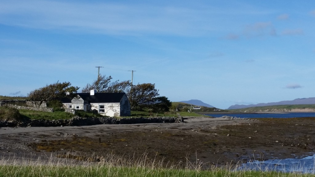
There were at least 681 people living on the islands in Newport Bay almost two hundred years ago. Collan More had 218 inhabitants in 1841. Clynish had 87. Forty-four people — nineteen of them children under ten — were living on Inishcottle as late as 1911. Moynish More was home to 99 people before the Great Famine.
On other islands the only evidence remaining today may be a ruined cottage, an old lane, strips of lazybeds or the outline of fields disappearing beneath the grass.
So where did everybody go?
From Island to Mainland
One important part of the answer lies with the Congested Districts Board, established in 1891 to tackle poverty and the problem of tiny, fragmented holdings along the west coast.
The Board bought estates, enlarged farms, improved fisheries and built roads, piers, drains and houses. After gaining compulsory purchase powers in 1909, it was able to reorganise landholding more aggressively and encourage families to move from marginal islands and shoreline plots to more workable farms nearby.
A key development around Newport was the Board’s purchase of the O’Donel (sic) estate in May 1911. Land was consolidated, bog rights apportioned, roads and fences built, and houses improved or constructed. This created the kind of mainland holdings that allowed island and fishing families to move ashore without abandoning the area entirely.
The movement was often only a short one. Families left tiny island holdings for townlands around Newport and Burrishoole, while continuing to fish, graze stock or maintain family connections with the islands.
Census trails show surnames such as Gibbons, Gavin, Moore and O’Malley appearing first on tiny islands and later in nearby mainland townlands.
What Life Was Like
For those who remained, life was based on a mixed subsistence economy.
There were small numbers of livestock, potatoes grown in lazybeds, turf cutting, kelp work and inshore fishing from currachs. Families depended on the sea not only for food and income but for access to Newport itself.
Mail came by boat. Cattle and freight were moved across the water in currachs and heavier boats. During the interwar years, cash was scarce and families relied on calf sales, remittances from emigrants and occasional relief work.
One oral-history phrase captures the hardship of the early 1930s particularly well:
“The time of the hunger money.”
Relief-scheme pay packets were used to buy basic necessities such as tea and paraffin.
Islands in a Time of Conflict
The islands also had a quiet role during the revolutionary years.
IRA couriers later recalled islanders hiding them “for the tide” during the War of Independence. During the Civil War, the islands seem to have functioned more as hideouts, safe resting places and areas of quiet support than as centres of armed activity.
Their isolation could be a disadvantage in everyday life, but in troubled times it also provided shelter.
The Great Departure
The 1920s and 1930s saw continued emigration, but the years after the Second World War accelerated the decline.
British labour demand drew away many younger islanders. The 1950s became Ireland’s great “Decade of Exile”, and Mayo was among the counties hardest hit. Across Clew Bay, school rolls collapsed and young men and women left for Britain and America.
The smaller islands never recovered their populations.
Some remained inhabited by only a handful of families. Others became seasonal, recreational or private islands. Some were abandoned entirely.
Why Are There So Many Islands?
The extraordinary geography of Newport Bay is part of the story.
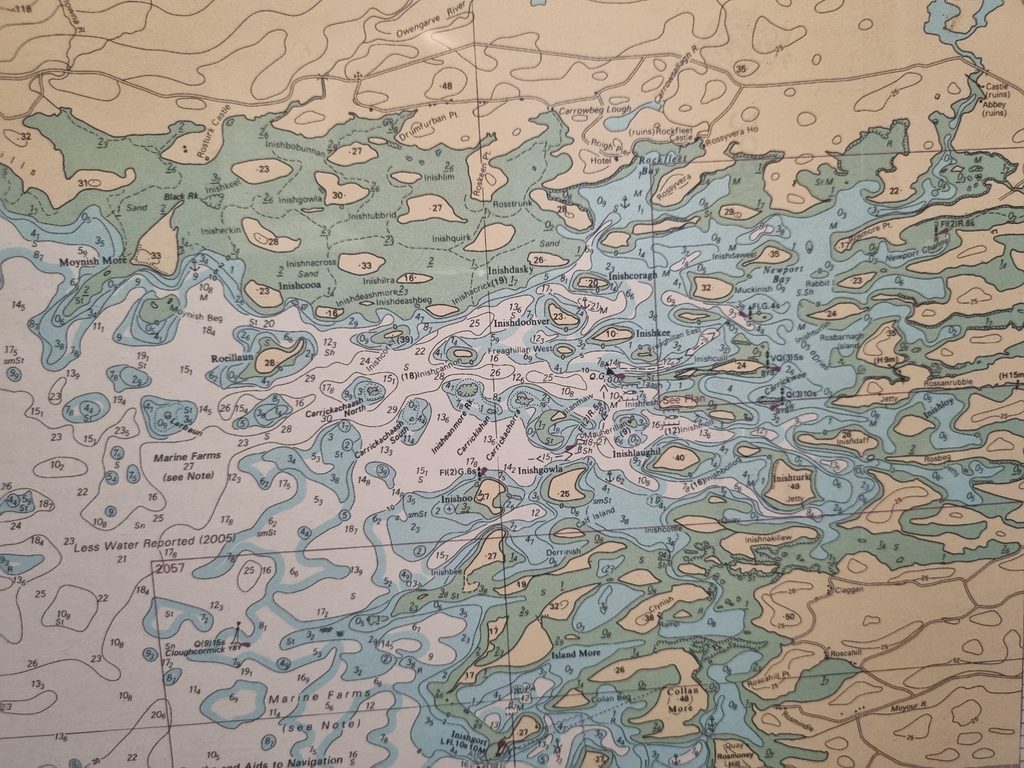
The islands are usually described as drowned drumlins — elongated hills formed by glacial movement at the end of the last Ice Age. When the ice melted and sea levels rose, the Atlantic flooded the low ground around them, leaving their higher parts as islands.
The result is the famous Clew Bay “drumlin swarm”, sometimes described as a basket-of-eggs landscape.
Some of the islands are high and steep-sided. Others barely rise above the water. Still more drumlins lie completely submerged beneath the bay.
In the shallower parts of Newport Bay, some former islands are now connected to the mainland by bridges or causeways, including Rosmore, Inishnakillew and Inishcottle.
The Newport Bay Islands
Collan More
Collan More is one of the largest islands of inner Clew Bay, situated just northwest of Rosmoney Pier.
In 1841 it had a population of 218. By 1911 there were nine private dwellings and Collanmore National School, with a total population of forty. By 2006 only eighteen inhabitants remained.
The island is still inhabited today and is home to a sailing school.
Collan Beg
Collan Beg lies southwest of Collan More.
In 1861 a family of nine lived there. The 1911 census records John Malley, his wife Mary and his 75-year-old mother Anne living in a two-room thatched cottage.
The island is now uninhabited apart from livestock.
Clynish
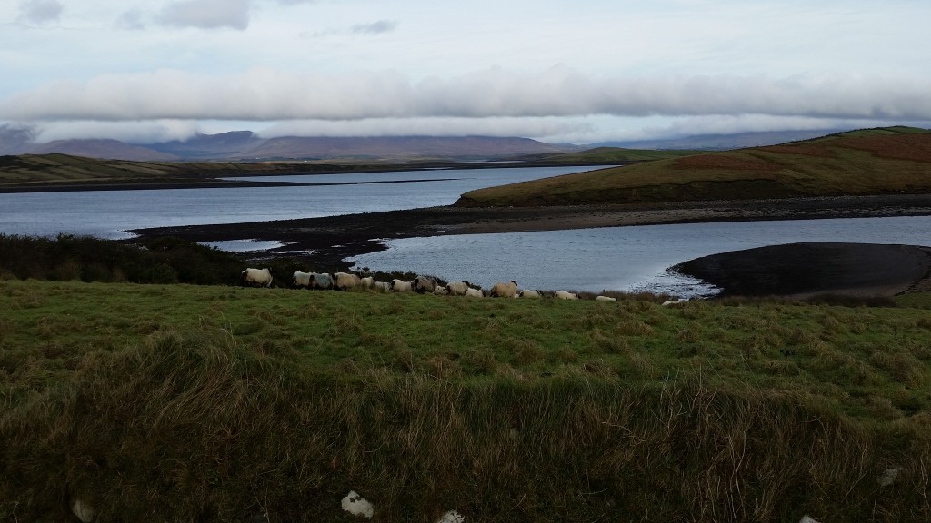
Clynish lies north of Collan More and remains one of the few inhabited islands in Clew Bay.
In 1841 it had 87 residents in sixteen families. By 1911 only twenty-three people remained, and by 2006 the number had fallen to five.
A new pier was built in the early 2000s, allowing boats to dock more safely during winter.
Inishcottle
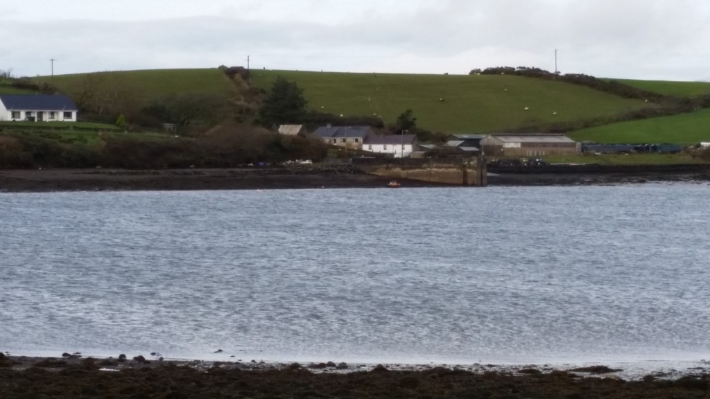
Inishcottle was still a remarkably youthful community in 1911.
Five two-room houses accommodated 44 members of the Quinn and O’Malley families. Nineteen of the island’s residents were under ten years of age.
Inishdaff
Inishdaff contains the ruins of an ancient church and graveyard that is still used for local burials.
Several families were evicted from the island during the Great Famine.
In the early nineteenth century, Hugh O’Donnell – a descendant of the rebel Red Hugh O’Donnell – his wife Molly and their ten children lived there.
Inishnakillew
In 1911 Inishnakillew had seven houses occupied by 34 people.
Five belonged to the Quinn family. One household contained seven teenage boys and girls, while another had three generations living under the same roof.
Inishturk Beg
In 1911 Mary Berry lived on Inishturk Beg with her three children in a two-room house on the southeast side of the island.
The island was later developed as a high-end private retreat, and Mary Berry’s original cottage was substantially enlarged.
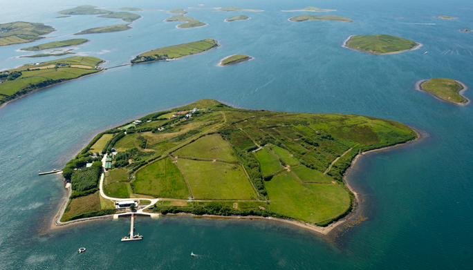
Inishturlin
Inishturlin appears in the Tithe Allotment Books of the 1820s and 1830s.
In 1841 it had 25 inhabitants. Unlike many nearby islands, its population actually rose during the Famine period, reaching 36 by 1851.
Rosbarnagh
Rosbarnagh had nine houses and 42 residents in 1841.
Its population fell by half during the Famine years and had disappeared entirely by the late nineteenth century.
Roslynagh
Twelve people lived in three houses on Roslynagh in 1841.
Ten years later the island had been abandoned, and it has remained uninhabited ever since.
Rosmore
In the early nineteenth century, Rosmore supported around 90 people living in thirteen houses.
Today only a solitary farm remains.
Rosmore is now connected to the mainland by a bridge little more than twenty feet long.
The Islands Towards Mulranny
The northwestern part of the bay contains another dense cluster of small, mostly uninhabited islands.
Inishgowla
One Inishgowla (of the three in Clew Bay) had twenty-eight residents in 1841 — fourteen men and fourteen women.
Ten years later, after the Great Famine, nobody remained.
A second island of the same name was still inhabited in 1911, when four houses accommodated twenty-one people.
Inishilra
A ruined house remains on Inishilra.
Before the Great Famine, that house was occupied by a family of twelve.
Inishkeel
Twenty-three people lived in three houses on Inishkeel before the Great Famine.
The remains of a ringfort also survive on the island.
Inishnacross
In 1841, 27 people lived on Inishnacross.
After the Famine, not one remained.
The remains of their houses can still be seen, along with an artificial docking area on the eastern side.
Inishquirk
Thirty-seven people lived on Inishquirk in 1841.
Only seventeen were still there ten years later.
Inishtubbrid
Inishtubbrid had 42 residents living in just three houses in 1841.
By 1851 the population had fallen to twenty-four.
Moynish More
Moynish More was once one of the more substantial island communities.
Before the Great Famine, 99 people lived in nine houses there. Ten years later, the population had fallen by more than half.
The outlines of their houses and the old field lanes can still be seen today.
What Remains
The islands did not simply become empty.
Their people moved.
Some crossed only a few hundred yards of water and built new lives around Newport. Others travelled to England, Scotland or America. Their houses disappeared, schools closed and fields grew over, but the connection between island and mainland did not disappear with them.
Today the remains of cottages, lazybeds, graveyards, piers and old lanes still mark where those communities lived.
The surnames remain too.
Gibbons. Gavin. Moore. O’Malley. Quinn.
Names that once belonged to families living on little islands scattered across Newport Bay are now found throughout Mayo and far beyond it.
Does your family have an island connection?
If your parents, grandparents or earlier family lived on one of the islands of Newport Bay, I would love to hear from you.
Particularly if you have old photographs, family stories, house names, island nicknames or memories of travelling between the islands and Newport, please get in touch:
Next Post – Westport Bay – The Lost Island Communities and their Maritime History